

You can find on this page the blank map of Mexico to print and to download in PDF. The contours map of Mexico presents the international boundary of Mexico in Americas. You can use the vector map of Mexico for personal or educational use.
The blank map of Mexico shows the country Mexico empty. This blank map of Mexico will allow you to use the map for personal activities or educational with children for example (drawing). The empty map of Mexico is downloadable in PDF, printable and free.
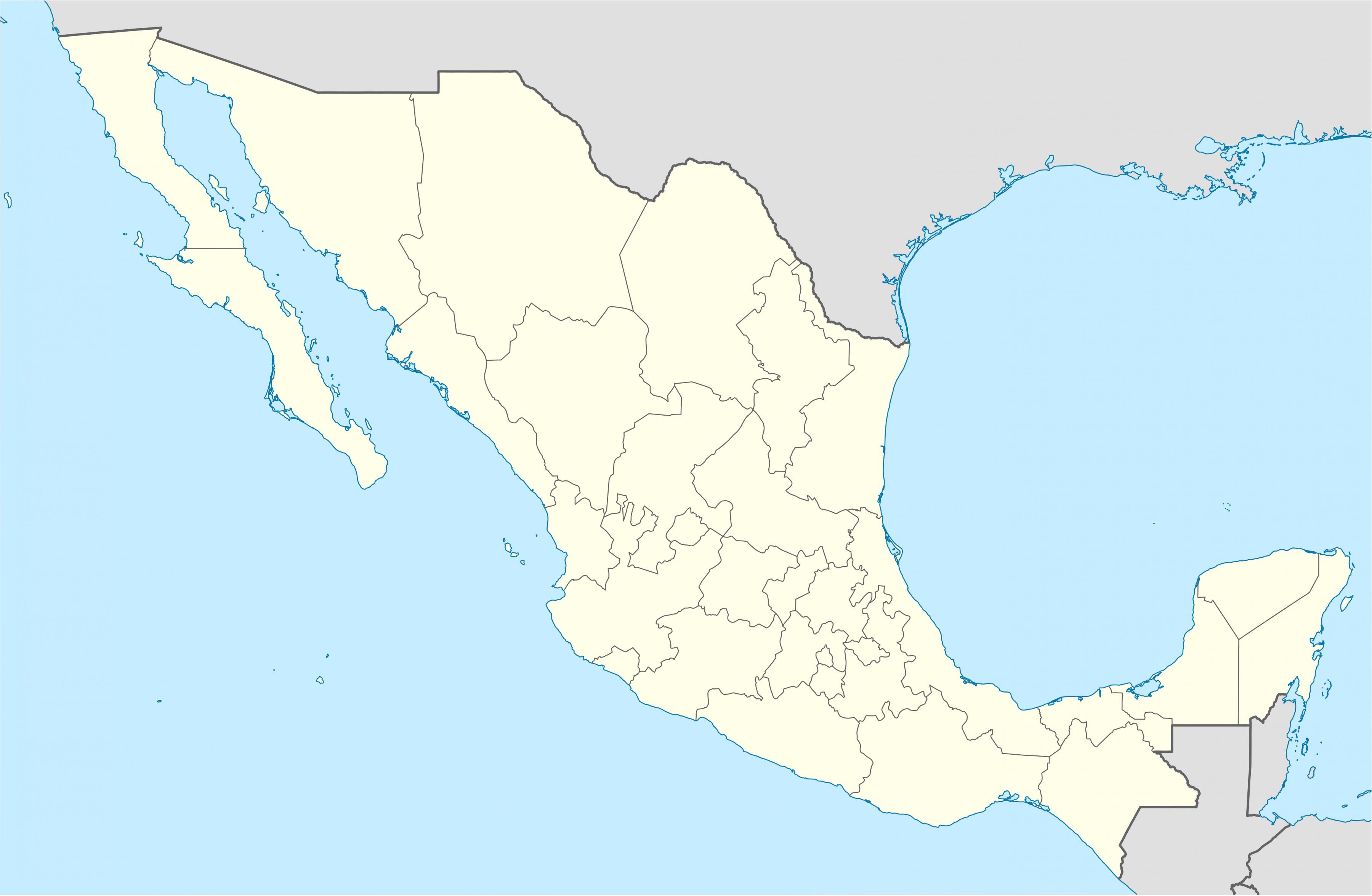
Mexico states as its shown in the blank map of Mexico are: Aguascalientes, Baja California, Baja California Sur, Campeche, Chiapas, Chihuahua, Coahuila de Zaragoza, Colima, Distrito Federal, Durango, Estado de Hidalgo, Estado de México, Guanajuato, Guerrero, Jalisco, Michoacán, Morelos, Nayarit, Nuevo León, Oaxaca, Puebla, Querétaro, Quintana Roo, San Luis Potosí, Sinaloa, Sonora, Tabasco, Tamaulipas, Tlaxcala, Veracruz de Ignacio de la Llave, Yucatán, Zacatecas.
Students can color the outlines of the blank map of Mexico, study and highlight continents and countries, add names and features. With and without labels. A great teaching resource for students. Can be copied and shared with your students or kids. These are great for making 8.5 x 11 blank printable world maps. The blank map of Mexico includes Administrative divisions.
Download and print these Mexico Blank Map coloring pages for free. Mexico Blank Map coloring pages are a fun way for kids of all ages to develop creativity, focus, motor skills and color recognition. The blank map of Mexico quiz will test your knowledge of the geographical location of the Mexican states.
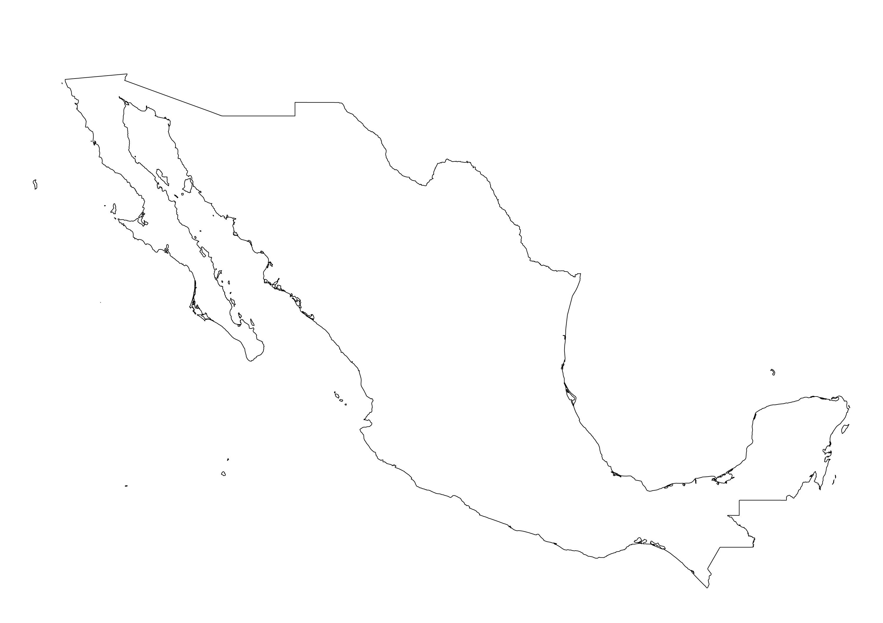
The Mexico map outline shows all the contours and international boundary of Mexico. This outline map of Mexico will allow you to easily learn about neighboring countries of Mexico in Americas. The Mexico contours map is downloadable in PDF, printable and free.
Mexico covers almost 2 million square kilometers of land as its mentioned in Mexico map outlines. It has 9,330 kilometers of ocean coastline. Mexico is located between the United States of America (at the north) and Guatemala and Belize (at the south). At Mexico's west is the Pacific Ocean; at the east is the Gulf of Mexico and the Caribbean Sea.
The Mexico map outlines allows to you configure the way Mexico is presented so that you can use the map for exactly what you need it for - as a reference, a quiz or projects or something for students or teachers to annotate while doing research. This map includes the Mexico Outline Map only, without divisions.
Usually the outline map of Mexico includes a list of neighboring countries: Belize, El Salvador, Guatemala, Honduras, United States, major cities, major landforms, and bodies of water of Mexico but this map include just Mexico outlines. A student may use the outline map to practice locating these political and physical features.

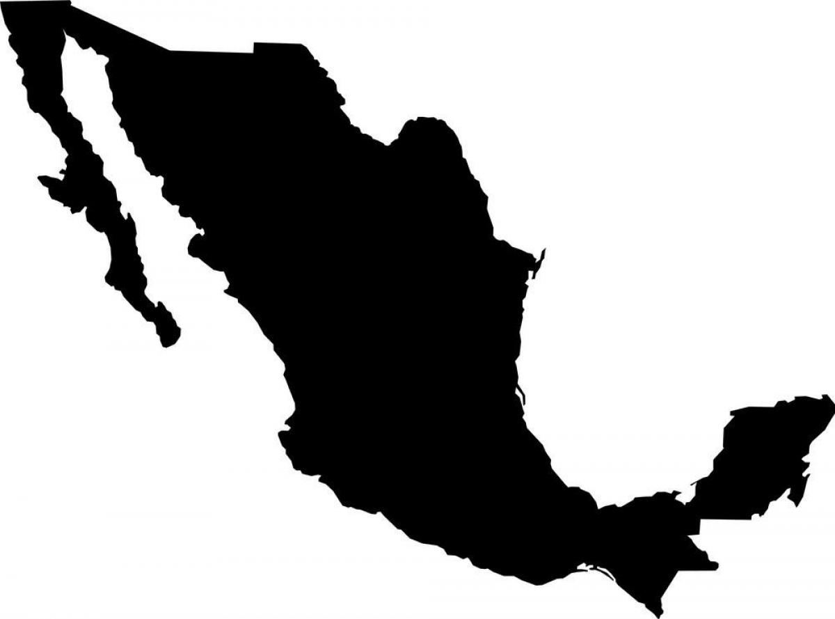
The vector map of Mexico shows entire surface of Mexico empty. This vector map of Mexico will allow you to make changes or add details to the map of Mexico in Americas, for personal or educational purposes. The vectorial map of Mexico is downloadable in PDF, printable and free.
Mexico is located between latitudes 14° and 33°N, and longitudes 86° and 119°W in the southern portion of North America. Almost all of Mexico lies in the North American Plate, with small parts of the Baja California peninsula on the Pacific and Cocos Plates (see Mexico map vector). Geophysically, some geographers include the territory east of the Isthmus of Tehuantepec (around 12% of the total) within Central America.
On its north, Mexico shares a 3,141 km (1,952 mi) border with the United States. The meandering Río Bravo del Norte (known as the Rio Grande in the United States) defines the border from Ciudad Juárez east to the Gulf of Mexico (see Mexico map vector). A series of natural and artificial markers delineate the United States-Mexican border west from Ciudad Juárez to the Pacific Ocean. On its south, Mexico shares an 871 km (541 mi) border with Guatemala and a 251 km (156 mi) border with Belize.
Mexico is a federal constitutional republic in North America as you can see in Mexico map vector. Covering almost two million square kilometres (over 760,000 sq mi as on map), Mexico is the fifth largest country in the Americas by total area and the thirteenth largest independent nation in the world.